Services
- Promenada 13, 22000 Sremska Mitrovica, Serbia
- office@geodigit.rs
- +381 22 62 45 83
- +381 22 21 50 240


We have years of experience in the field of geodesy, geoinformation systems, as well as all kinds of processing of spatial data. Knowledge of project management has been developed at the local and international market. Our experts will help you design your system so that it can become technically feasible and sustainable, and our operations will lead your projects to their completion.
(10+ Services)

GIS services involve the use of spatial data for mapping, analysis, and support in various areas, utility line infrastructure urban planning to environmental conservation.
READ MORE
GIS development involves creating and enhancing systems for efficient management, analysis, and visualization of spatial data.
READ MORE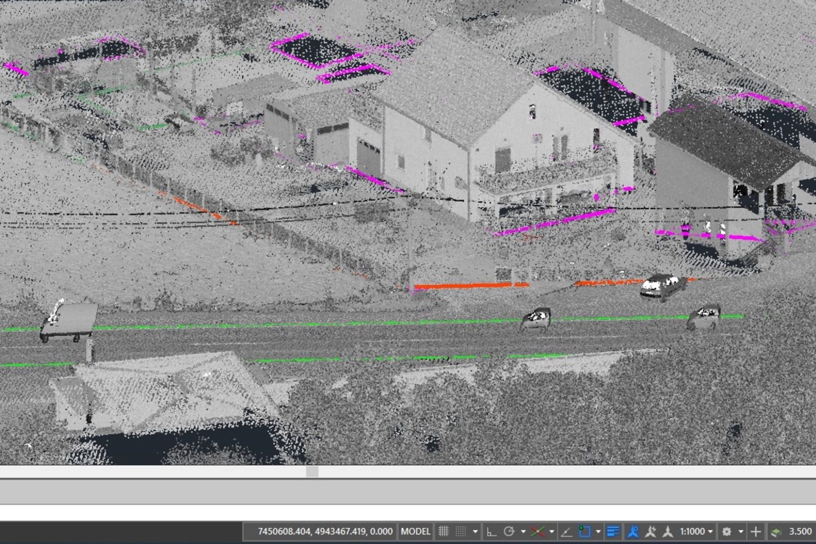
3D mapping is the representation of real-world objects in a three-dimensional space, allowing for a detailed depiction and better understanding of the environment.
READ MORE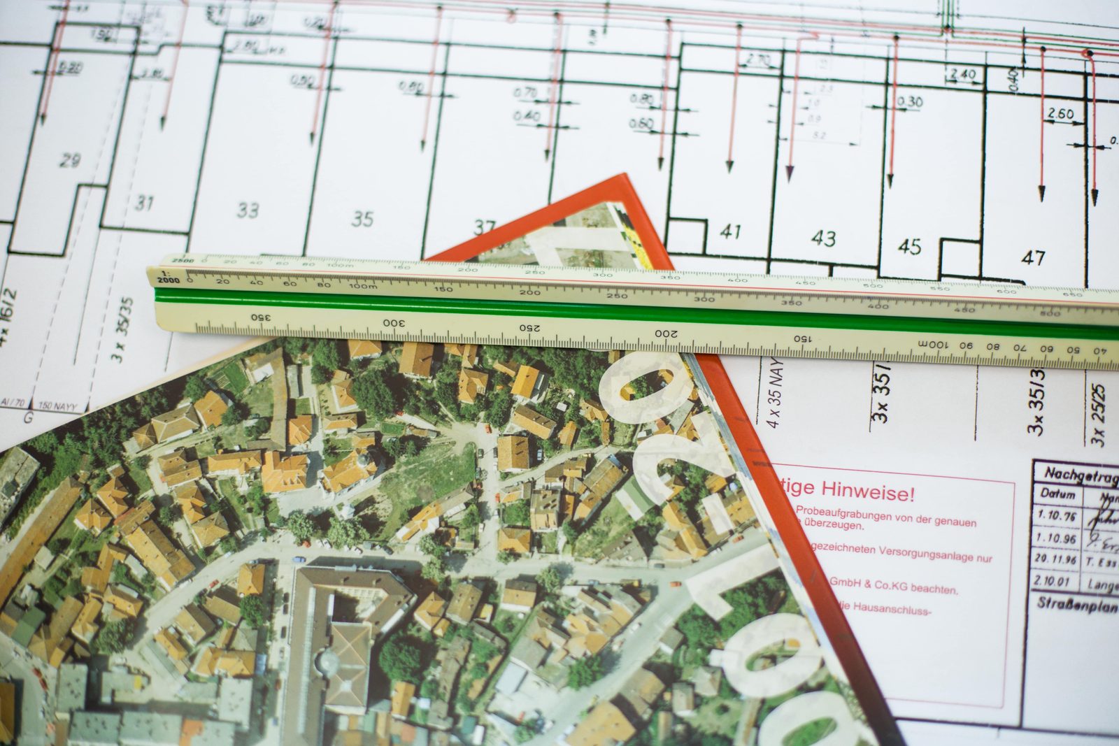
Optical passive network planning for residential and business users. We provide services for the development of preliminary, main and as-built design. We design optical access and long-distance networks.
READ MORE
Consulting involves providing professional, technical, legal, and organizational support to clients during the planning and implementation of their projects.
READ MOREOur long-term satisfied clients are proof of our quality and expertise.