- Promenada 13, 22000 Sremska Mitrovica, Srbija
- [email protected]
- +381 22 62 45 83
- +381 22 21 50 240


U mogućnosti smo da koristimo najnovije tehnologije kako bismo zadovoljili potrebe naših klijenata.


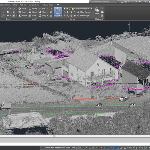
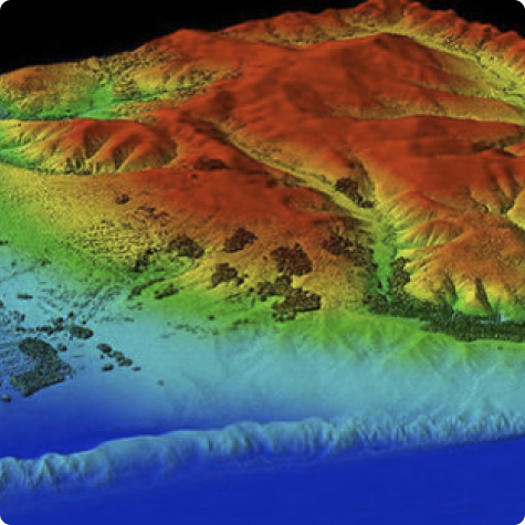
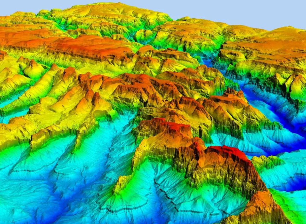
Ove tačke predstavljaju X, Y i Z geometrijske koordinate pojedinih tačaka na površini koja se snima. Point cloud predstavlja sredstvo za povezivanje velikog broja pojedinačnih prostornih merenja u skup podataka koji tada može činiti celinu. Kada su prisutne informacije o boji, point cloud postaje 4D.
Point cloud najčešće se generiše pomoću 3D laserskih skenera i LiDAR tehnologija i tehnika. Ovde svaka tačka predstavlja jedno merenje laserskim skeniranjem. Ta skeniranja zatim spajaju, stvarajući kompletnu 3D/4D sliku. Point cloud tako predstavlja digitalizovan i virtuelizovan realan prostor iz kojeg se zatim izvlače prostorne informacije o konkretnim objektima (tačkastim, linijskim ili površinskim) koja su predmet snimanja. Sve ovo se radi u specijalizovanim softverima koji služe za obradu ovakvih podataka.
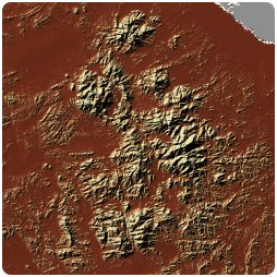
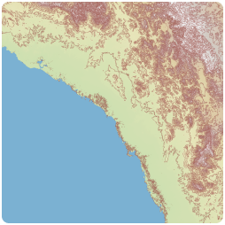
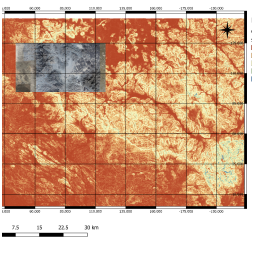
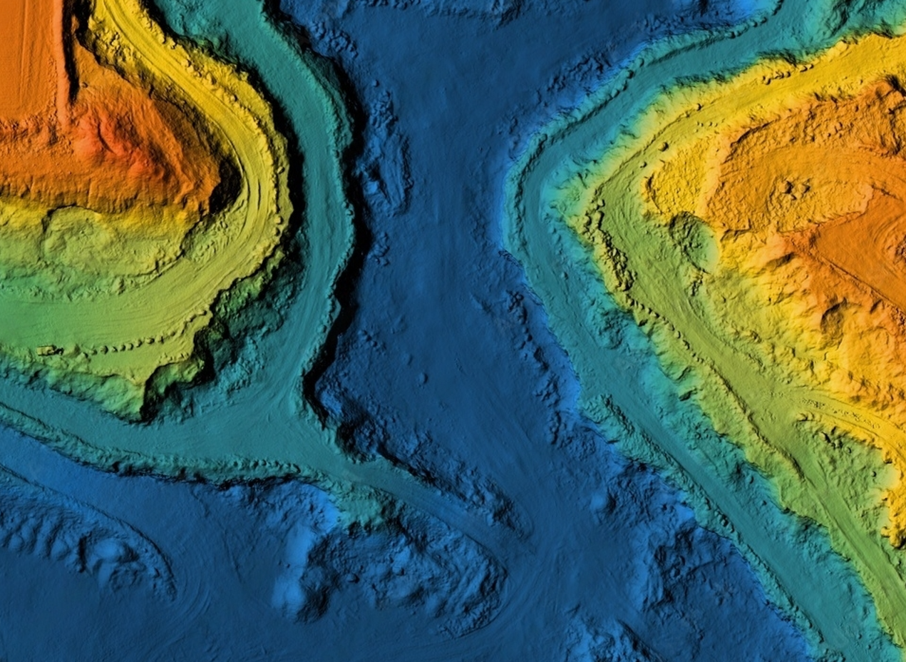
Daljinska detekcija je proces otkrivanja fizičkih karakteristika Zemljine površine merenjem reflektovanja i zračenja na udaljenost od ciljanog područja.
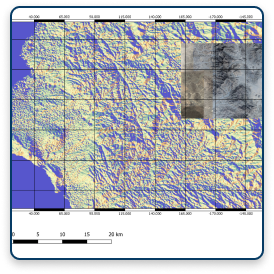
Specijalne kamere i sateliti vrše daljinsko prikupljanje slika Zemlje koje se dalje obrađuju posebnim tehnikama i metodama.
GeoDigit u saradnji sa svojim partnerima pruža usluge snimanja površina specijalnim kamerama visoke rezolucije i obradu snimljenih podataka kao i obradu postojećih satelitskih snimaka koji su javno dostupni.