- Promenada 13, 22000 Sremska Mitrovica, Serbia
- office@geodigit.rs
- +381 22 62 45 83
- +381 22 21 50 240


We are able to use all technologies in our industry to meet our clients needs.


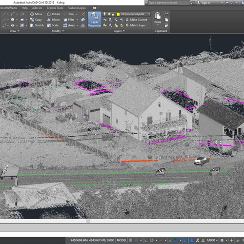
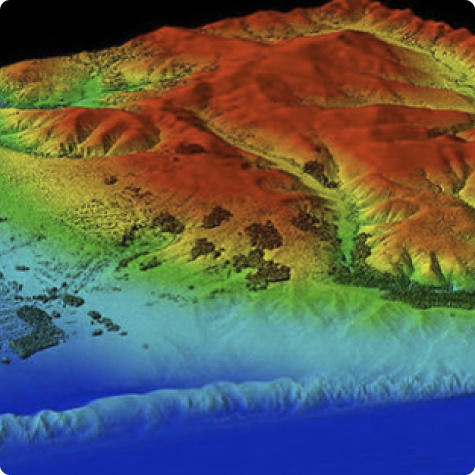
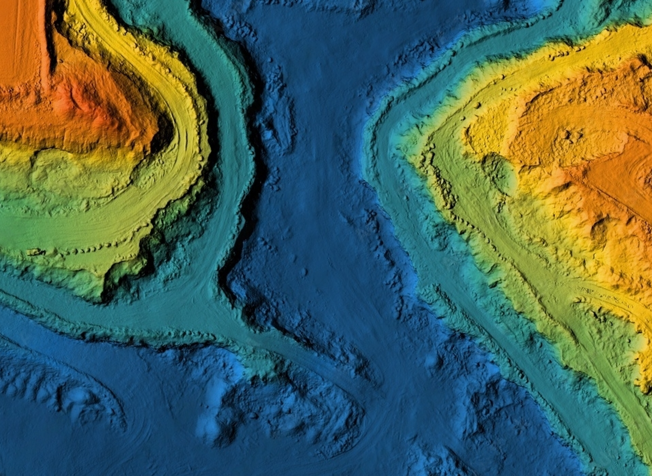
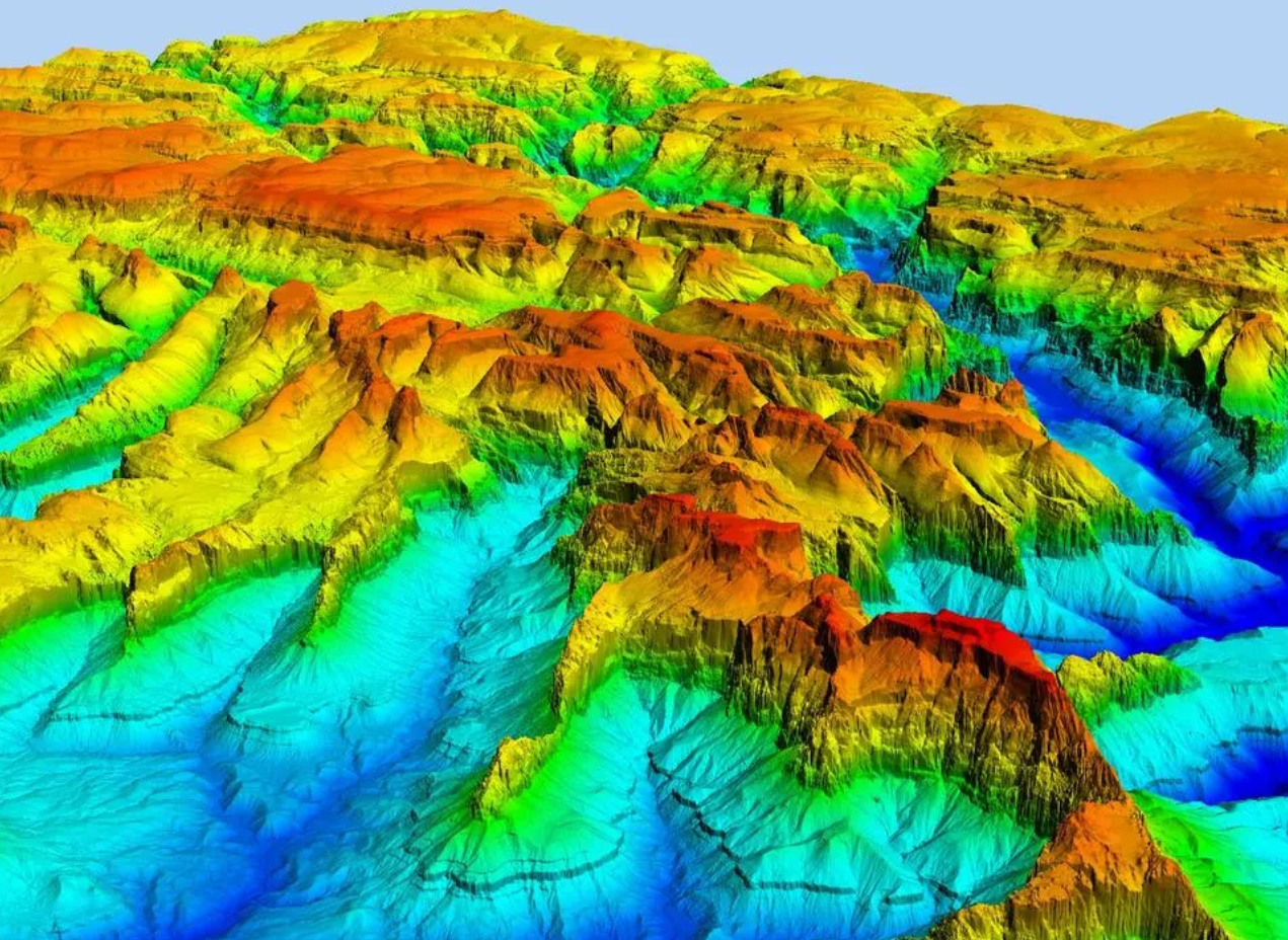
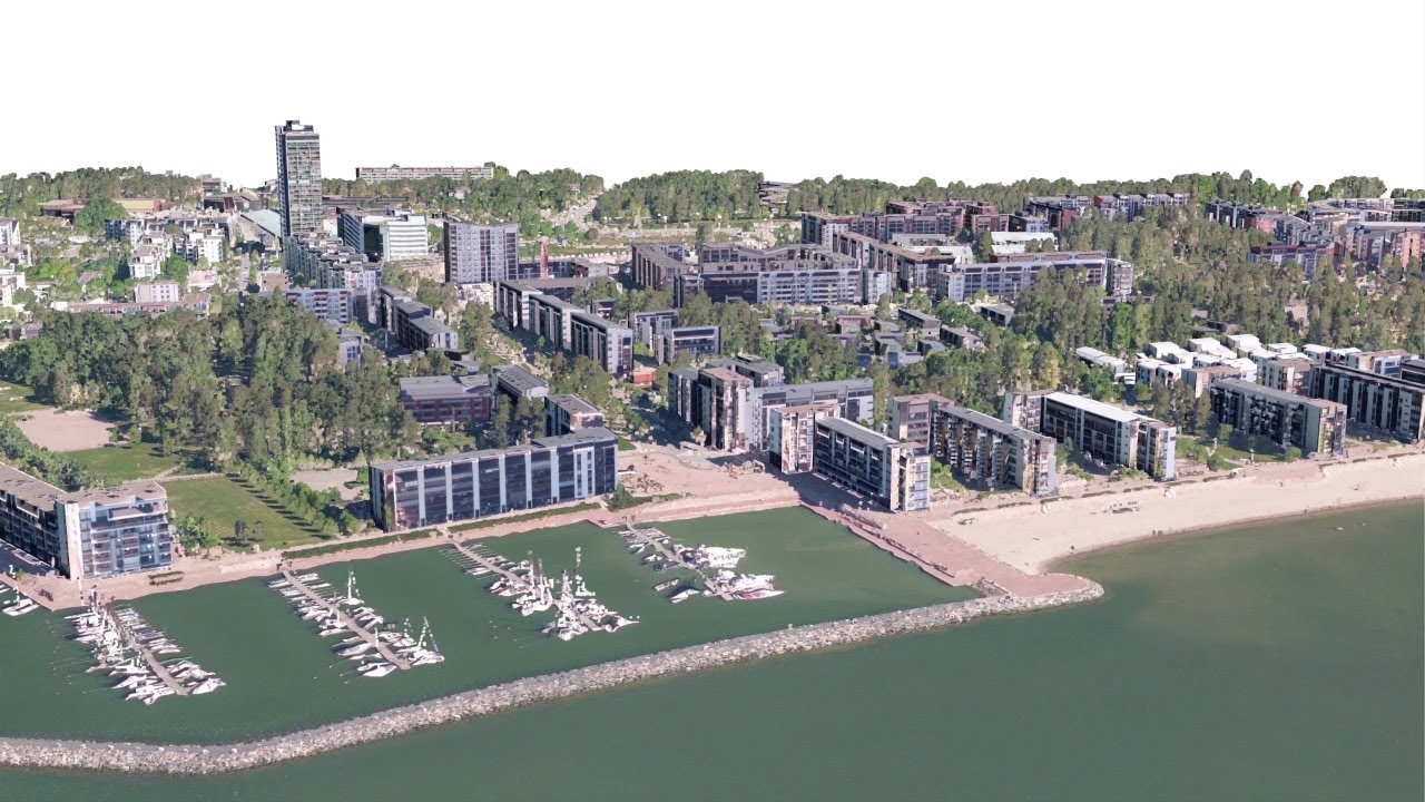
These points represent the X, Y and Z geometric coordinates of individual points on the surface to be recorded. A point cloud is a means of linking a large number of individual spatial measurements into a set of data that can then form a whole. When color information is present, the dot cloud becomes 4D.
The point cloud is most often generated using 3D laser scanners and LiDAR technologies and techniques. Here, each point represents one measurement by laser scanning. These scans then merge, creating a complete 3D / 4D image. The point cloud thus represents a digitized and virtualized real space from which spatial information about specific objects (point, line or surface) that are the subject of the recording is then extracted. GeoDigit is doing this with specialized software that serves to process such data.
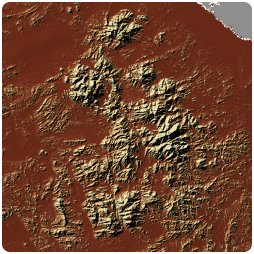
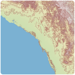
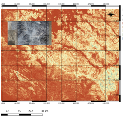
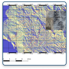
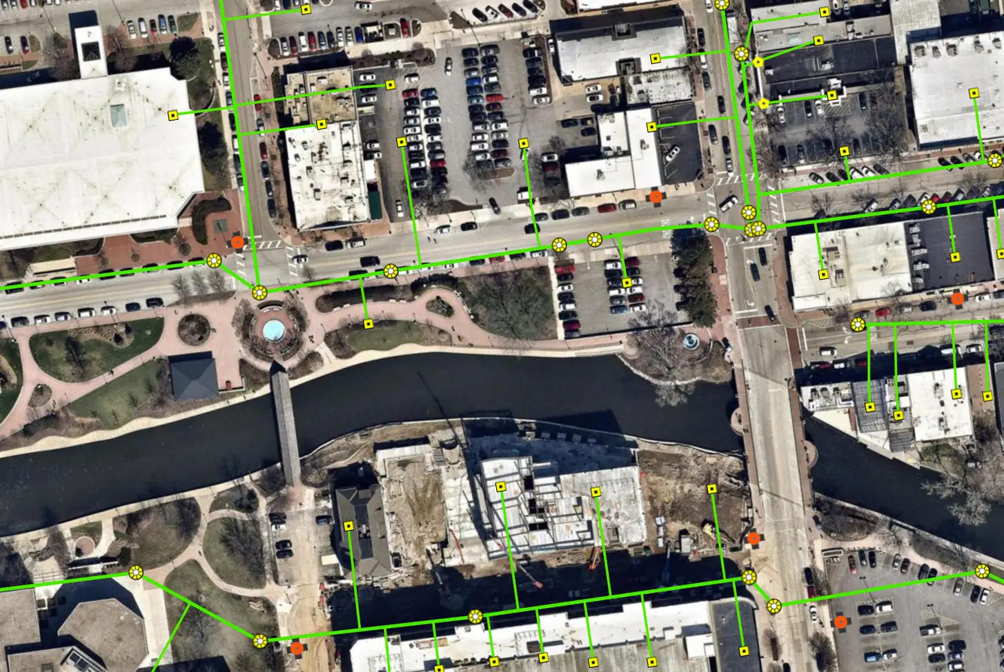
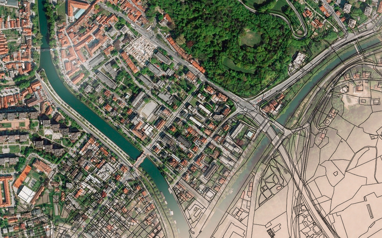
Remote sensing is the process of discovering the physical characteristics of the Earth’s surface by measuring the reflection and radiation on a distance from the target area.
Special cameras and satellites perform remote collection of pictures of the Earth, which are further processed by special techniques and methods.
GeoDigit, in cooperation with its partners, provides the services of recording the surface with special high-resolution cameras and processing of the recorded data, as well as processing of the existing satellite imagery that are publicly available.