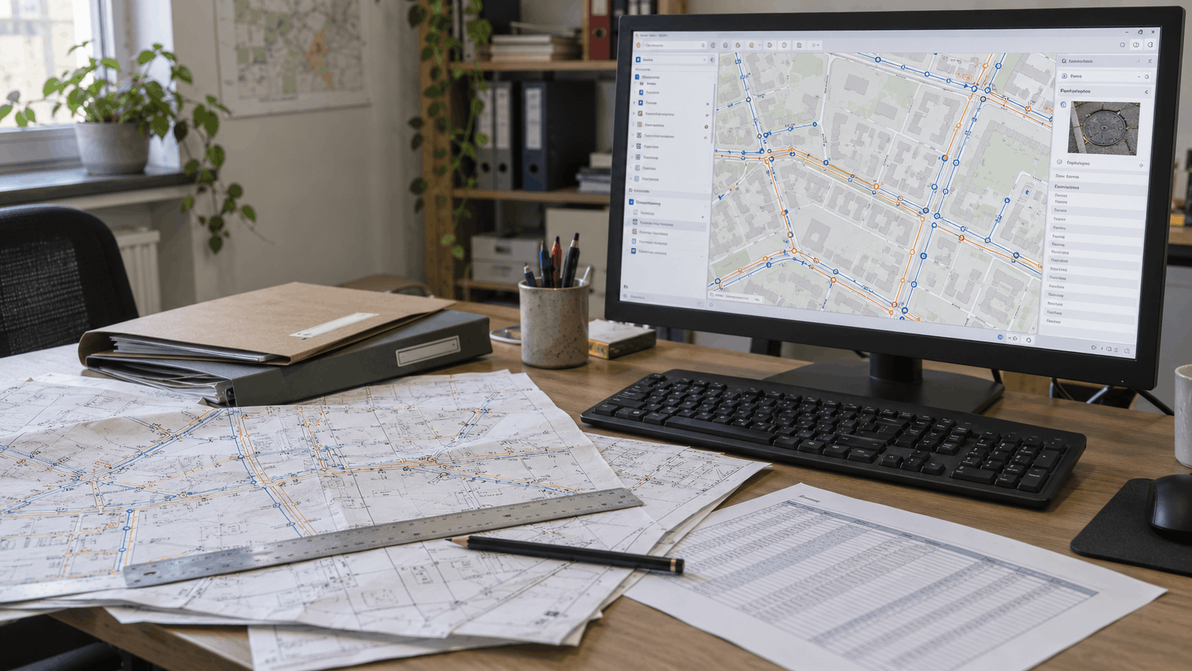
When Standard GIS Tools Are No Longer Enough
QGIS and ArcGIS handle many everyday GIS tasks. However, as the number of users, the volume of data and the complexity of workflows grow, an organization may need …
READ MORE



QGIS and ArcGIS handle many everyday GIS tasks. However, as the number of users, the volume of data and the complexity of workflows grow, an organization may need …
READ MORE
A well-organised digitization process transforms scattered plans and records into reliable geospatial data ready for everyday operations, analysis, and informed decision-making.
READ MORE