
When Standard GIS Tools Are No Longer Enough
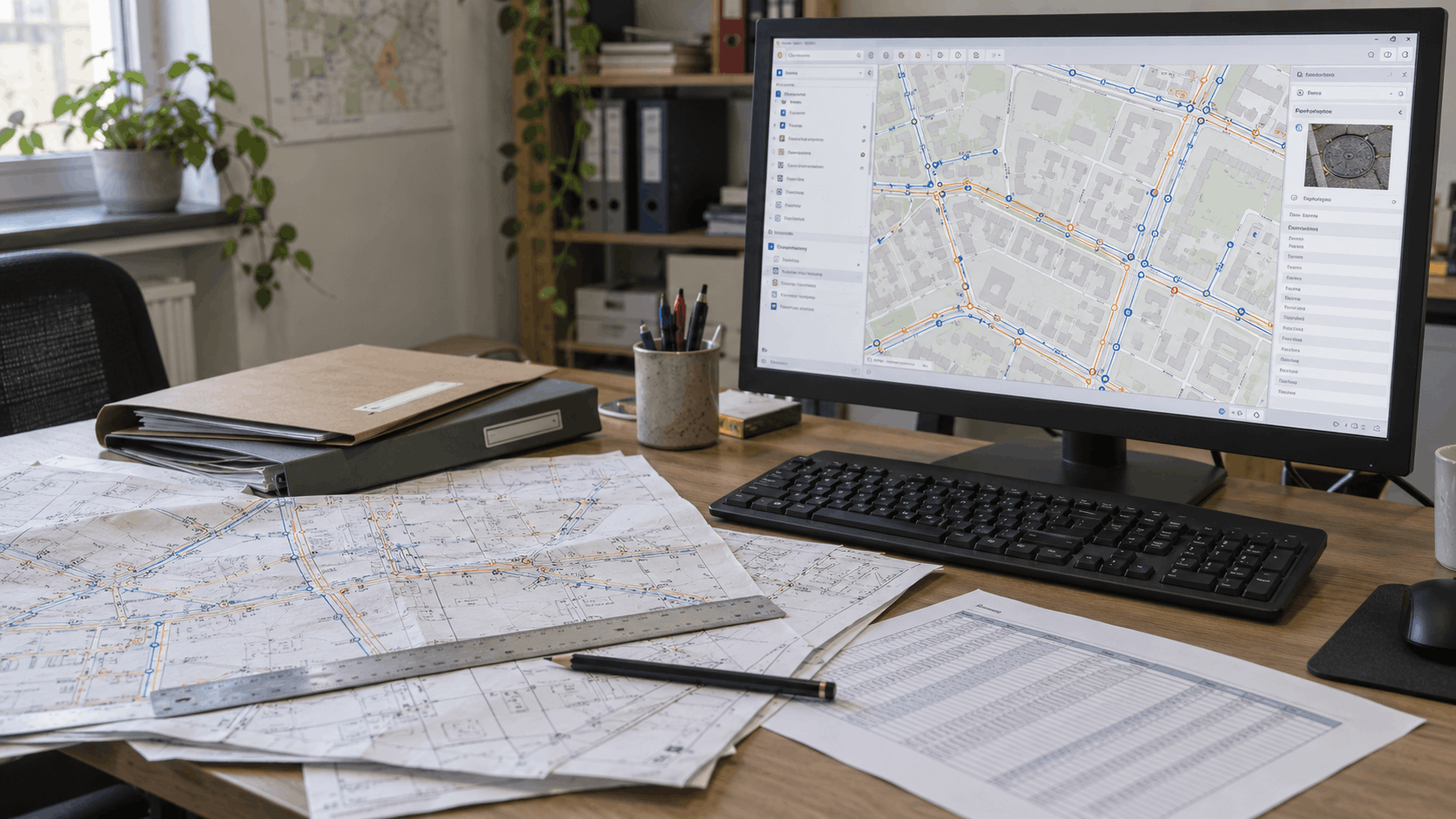
Most organizations start in a similar way: spatial data is stored in shapefiles, Excel tables and various folders. This approach can work well for years, until the work becomes more complex.
That is when problems start to appear: no one is sure which layer version is the latest, changes get overwritten, documentation becomes difficult to find and routine reports take days to prepare manually.
Before buying a new tool, it is worth asking: What is no longer working in our current workflow? Sometimes, the answer is better-organized data or additional staff training. In other cases, a custom application is the right next step.
The following five situations can help you identify where your current way of working is reaching its limits.
QGIS and ArcGIS handle many everyday GIS tasks. However, as the number of users, the volume of data and the complexity of workflows grow, an organization may need a custom GIS solution.
1. Multiple people edit the same data
When a team shares copies of the same layers and tables, changes can easily be lost. A central database, clearly defined access permissions and a change history ensure that everyone works with up-to-date data.
2. GIS features need to be linked to documentation
A utility line, parcel or connection often has associated design documents, permits, photographs and field reports. When documentation is stored in separate folders, its connection to a feature depends on file names or someone's memory. A custom solution can link each feature on the map directly to its supporting documentation.
3. The same reports are prepared manually, again and again
If employees export data, merge tables and manually prepare the same reports every month, the process is ready for automation. The system can generate reports directly from current data, following predefined rules.
4. Field teams need access to data
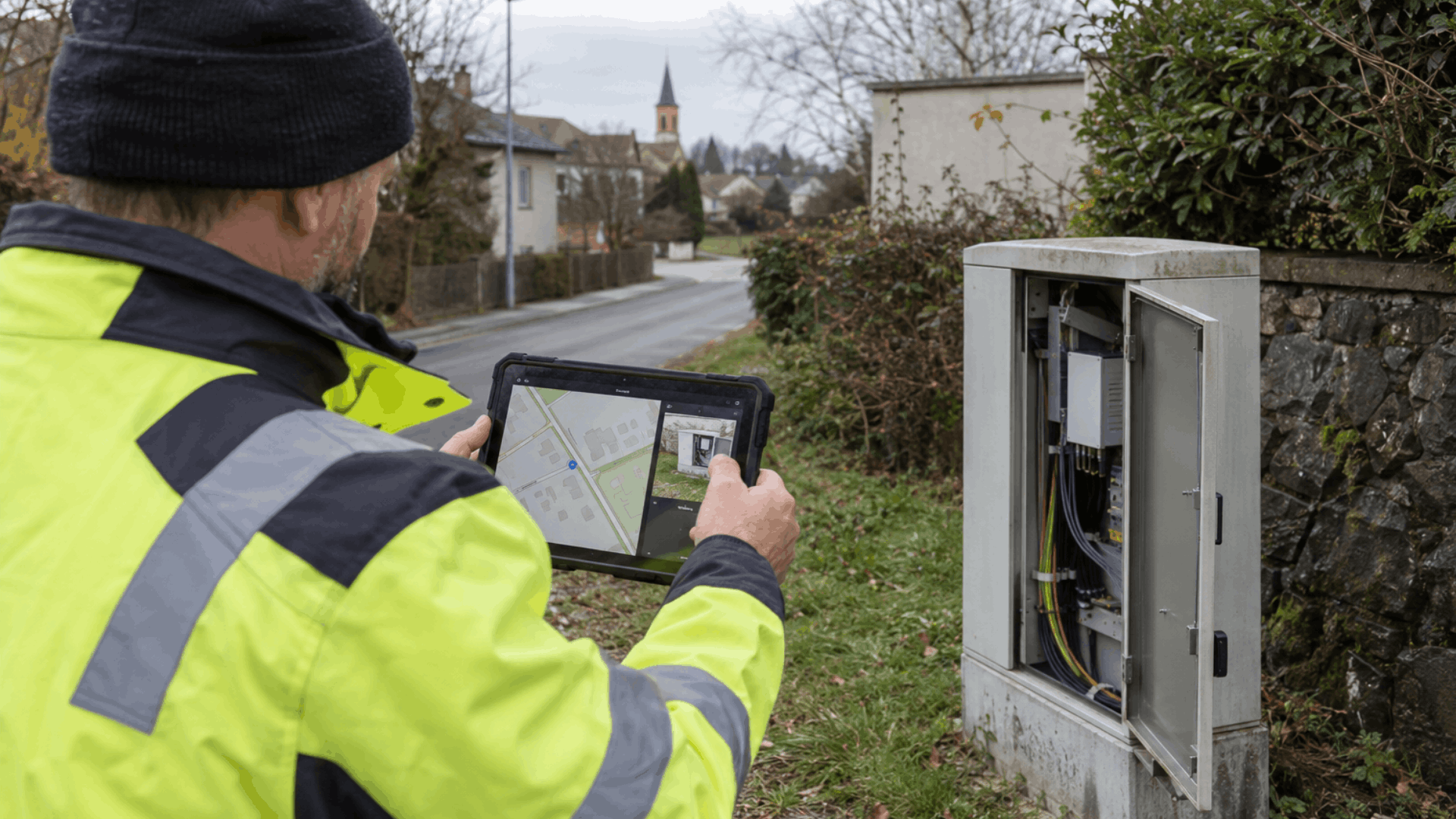
When field information is first recorded on paper or in a message and only entered into the GIS later, delays and errors occur. A web or mobile GIS application allows the team to locate a feature, check its data, record a change and attach a photo or document directly in the field.
5. The GIS needs to connect with other systems
If the same asset is maintained separately in the GIS, business software and other records, the data will gradually become inconsistent. Integration reduces duplicate work and makes it clear which system serves as the authoritative data source.

What can't a custom solution do?
A new application will not fix inaccurate or disorganized data on its own. Nor can it decide who is responsible for updating the data and checking its quality. These responsibilities must be defined before development begins or during system planning.
What should you prepare before development begins?
For a useful initial assessment, you should answer four questions:
- What data do you have, and in which formats?
- Who will use the system, and what access permissions will they need?
- What outputs and reports should the system produce?
- Which existing systems should it connect to?
If any of these problems sound familiar, get in touch through our contact form or by office@geodigit.rs.
Briefly describe what data you have, who uses it and what you would like to improve — together, we can explore a GIS solution that fits your needs.