



Infrastructure Digitization: From Analog Plans to a Reliable GIS
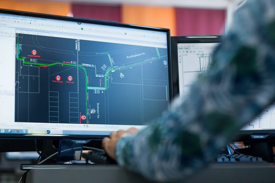
Companies that manage infrastructure often possess valuable data stored in various formats, including paper plans, CAD drawings, spreadsheets, and documents created over many years. The first step towards building a reliable GIS is not simply scanning these materials, but analysing the available sources, agreeing on a clear data structure, and defining how the information will be used.
A well-organised digitization process transforms scattered plans and records into reliable geospatial data ready for everyday operations, analysis, and informed decision-making.
1. Inventory of Existing Data Sources
We identify where the data is stored, who maintains it, and how up to date it is.
2. Standardization and Quality Control
We harmonise coordinate systems, attribute names, and rules for verifying data accuracy.
3. Migration to a GIS Environment
We connect the data with geographic locations, technical documentation, and the organisation’s business processes.
The result is a centralised system in which changes can be tracked more easily, field teams can access the information they need more quickly, and infrastructure planning and maintenance rely on a single, verified database. GeoDigit’s approach adapts the scope of digitization to the organisation’s actual needs and the quality of the available source materials.